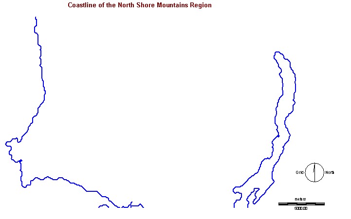
The following vector data layer was applied to all boolean and analyses maps for reference in order to provide better land/water contrast but also for enhancement regarding the extent of the area being studied.
i) COASTLINE.vct
-This vector file was originally obtained
in ESRI Shape file (.shp). However, this shape file was separated into
6 shape files (it took 6 1:20000 map sheets to provide complete aerial
coverage of the North Shore Mountains) in which each one covered a particular
map sheet in BC (there are 7,027 in total that cover the entire province
of British Columbia). Combining these 6 map sheets was critical because
the vector layer is to provide land/water contrast regarding the
extent of the area being studied in this project. The GeoProcessing Wizard
(under the spatial analysis tool) in ArcView made this possible. Finally,
the combined shape file was converted into Idrisi format by using a program
called FME Universal Translator.
Date Source: Land Data BC
Back to Methodology (2.0)
Please click here for Raster
data layers (3.3)
Or click here to go back to main menu